Borasu Pass Via Har ki Dun
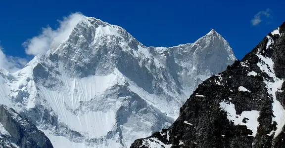
When you are craving for an adventurous trekking trip, what likely is better than trekking in the Himalayas? Situated on an altitude of 17,224 feet above the sea level, Borasu is itself an experience of the different shades of environment creation which is spreading its arms to provide you the best unforgettable experience to both the newcomers as well as professionally trained trekkers. It connects the Tons stream valley with Baspa waterway valley and sums up to be an 8-day startling yet adventuresome trek.
ABOUT BORASU PASS TREK
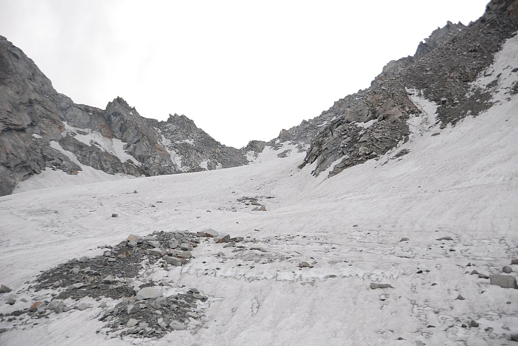
Once started, you will traverse into the wonderful Kinnaur Valley and it takes approximately 4 days from Har Ki Dun GMVN rest house to Chitkul street head in the Baspa Valley. One of the several reasons that the tourists are dragged to this trek is because this tour connects two most trek-filled states i.e. the Himachal and Uttarakhand. One will see plentiful vibrant alpine flowers on the byway.
Moving next to Har Ki Dun the path travels north along the Marinda Gad river. Past that, the way ends up in around 5 km through a blossom strewn tight valley. With an ice sheet further right, we climb strenuously, for around 4 km to the pass. At that point we plunge the rough slants and down to the Baspa bed. From the outdoors ground here, the trek to Chitkul is extremely simple. This trek is perhaps the most ideal way to enjoy the Himalayan societies of Kinnaur and Garhwal. If you are a person with the great urge to take challenges and complete them, the trip is calling for you!
HISTORY OF BORASU PASS TREK
The place is also called Bara Su. It is one of the various passes that cross into Himachal Pradesh from the state Uttarakhand. In ancient times, it is believed to be a trade route in history between the two valleys which are the Har Ki Dun and the Kinnaur Valleys. The Tibet border also lies minimal kilometers away. Earlier days had no road facilities so the people used to make their ways from Gangar, Osla, and Lamjunga to reach Chitkul. People at that time used to graze the goats and sheep in the route. The trek also comes under the Govind Wildlife Sanctuary National Park.
Sankri – The Base Camp
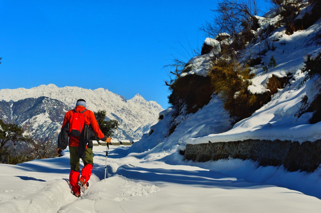
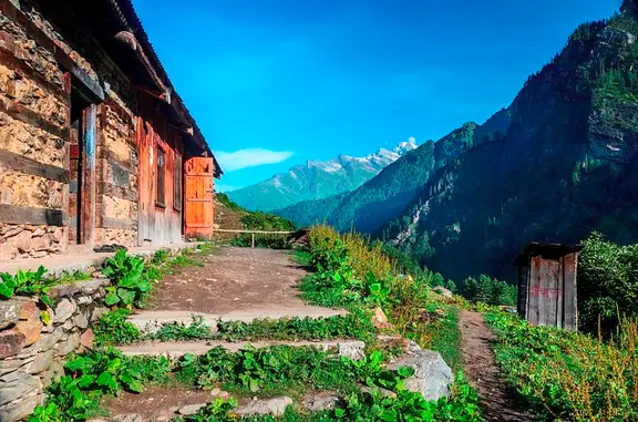
Basecamp to many several Himalayan treks, Sankri is a small village in Uttarkashi. Although it is just a small area indeed beautiful due to the houses which are built with the Deodar woods and the hotels which serve the best food you would have ever eaten! If you talk about the specialty, Red Rice Rajma and Gopka is a must if you jump here for the food. The Bandarpunch and the Kala Nag are the best views you will experience from here. Saur is the nearest village from here if you want to visit which is completely optional. But do not miss the alluring sunset of the place. The beauty of the base camp Sankri is mesmerizing.
Quick facts about the Borasu Pass Trek- Region- Uttarakhand
- Trek Altitude- 17,224 Feet
- Trek Difficulty Level- Difficult
- Trek Duration- 8 Days
- Distance- 63 km
- Start Point- Railway Station, Dehradun
- Base Camp- Sankri, Uttarakhand
- Best time- May-June and September -October
- Minimum Age - 15 years
- Mobile Network- Only BSNL
- Cloak Room - No facility
- The temperature in the summer season- 8-11 degrees.
- The temperature in the winter season- 4-7 degrees.
- ATM- Purola has the last ATM point so be prepared accordingly.
How to reach Borasu Pass?
- By Road
- By Rail
- By Air
Regular bus services, both government and private are available from Kashmiri Gate ISBT Delhi if you want to start your journey from there. It will take around 6 hours to cover the distance of 244kms. You can also use the cab facility if your pocket allows you because they will charge you from Rs 2800 – 3700 one way.
Dehradun Railway Station is the closest railroad station from where one can be traced. Else, take an overnight train from Delhi to Dehradun like Janshatabdi or Dehradun Shatabdi.
30 kilometers from the city of Dehradun, Jolly Grant Airport fills in as the closest air terminal. Jolly Grant Airport interfaces significant urban areas of India with Dehradun.
Best Time to visit Borasu Pass
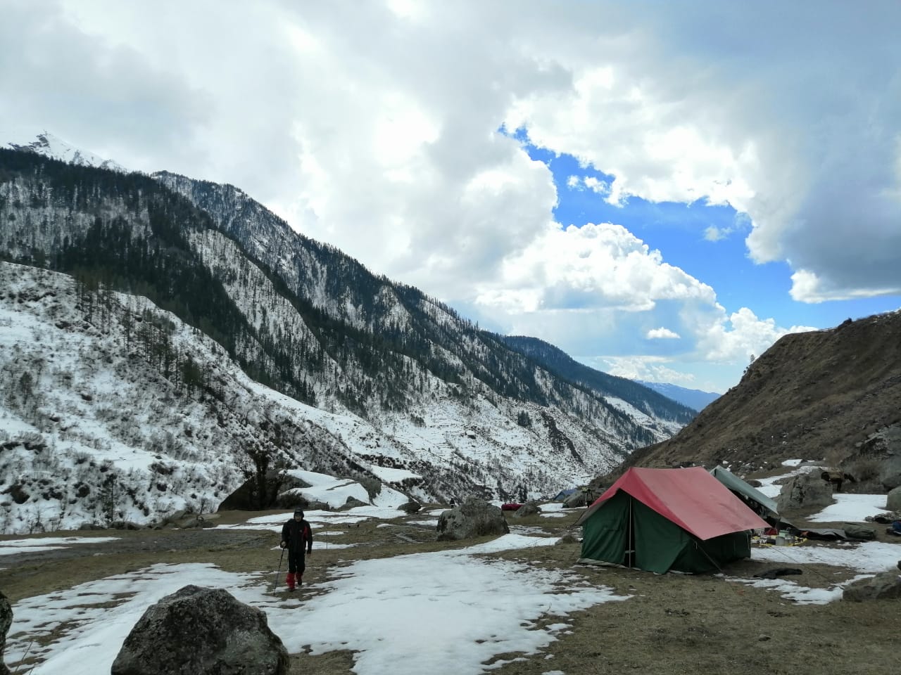
Borasu Pass trek is best sensed in September and October and again in the long months of mid-May to July as, during this part of the year, the weather is peaceful which makes the trek experience even more preternatural. One can embrace him or herself to testify an abundant amount of snow. Alpine forests, through which one's steps will be loaded with an excess of the amazing panorama of the whole valley will be a rapturous delight.
Difficulty Level of Borasu Pass Trek
Since the maximum altitude of the trek reaches up to 5450 meters, Borasu Pass Trek has a toughness range of 8 on a scale of 10. The grade level of this trek is quite difficult, which commands physical fitness, endurance, and adequate will power. A previous trekking experience of scaling a huge mountain peak is necessary therefore beginners should not try this.
One will find some steep inclines or dangerous ridges. Irrespective of once former experience, it is vital that one should be extremely fit and well prepared for this kind of trek.
You need to be ready to bear the extremely cold climate over there which can fall to -3 degrees in the night. You need to carry the warmest of your clothes with you.
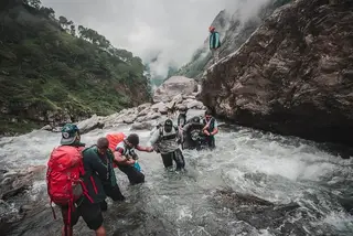
Mountain sickness is a common problem that occurs while you are trekking here and you should be aware of the precautions to be taken while you are in this problem. Also, you cannot have any kind of fears like water or height because you need to cross water streams and have to reach on to heights. You must learn the ascending and descending techniques for mountain trail before the trek which is not that easy.
The region and the surfaces during the trek will be much slippery or sloppy which can cause you to stumble a lot. There are complex iceberg sections that need to be crossed in addition to steep climbs. People often get sprain in their feet or get injured over here. That is why people count it in one of the toughest trekking places in India.
Fitness Required for Borasu Pass Trek
Borasu Pass Trek is semi-difficult to difficult grade trek, and hence requires a good fitness level for this kind of trip. The demand for an ample amount of stamina, and a fit body, both physically and psychologically, cannot be neglected. Therefore, great physical strength is an obligation. As mentioned before, this trek requires a prior trekking experience and it will be very tough for a beginner to take the risk but if they belong to an athletic background or history with routine fitness levels, they are most welcomed. It is still advised that one has to do basic exercises such as sit-ups, jogging, planks, and much more especially a month earlier to the start of the trek. Good vigor is a must for this trek. If you are a beginner, Moxtain would suggest you increase your stamina by walking and jogging 8 to 10 kilometers daily for at least 1 month before the start of the trek.
Itinerary for Borasu Pass Trek
Day 1: Heading to the Basecamp
Pick up from Dehradun Railway Station or Bus stand and drive to Sankri via Jarmola which is the base camp of the trip by a car or a taxi which takes 9- 10 hours. You will reach Mussoorie in the way followed by the famous Kempty Falls. On the way to Sankri, you will also notice that the rear of Kedarkantha is slightly visible. The way will be a little Crisscrossed while you are crossing Mori.
You will finally reach Sankri by first reaching the primary market of Sankri. Sankri is a small village but excellent for exploring. You can experience the adventure activities in the peak months of the year. People, there are very informative if you want to learn about the upcoming trek in detail.
- Distance: 197 km
- Altitude: 6400 ft
- Duration: 9-10 hours
- Accommodation: Guest House
- Start point: Dehradun
- Endpoint: Sankri
Day 2: Sankri to Chilurgad via Taluka
The next day, one needs to leave Sankri to Taluka by a taxi which is approximately 10 km of a drive. After reaching Taluka, there are plenty of things to do. There are a few shops and forest rest houses there to stay. But there is a lack of electricity in the village so make sure you have a charged phone or other devices. Moving forward, the next point is Seema. Frankly, the route is not very well shaped. You will pass by the Supin River which is a beautiful point to click pictures. A wooden bridge is also on the way which is the best point to have a mini photoshoot. You will also pass by the village of Osla which is more like a twin sister of Seema but a bigger village. Finally, the tents are to be set up at Chilurgad.
- Distance: 15 km
- Altitude: 8535 ft
- Duration: 6-7 hours
- Accommodation: Tent
- Start point: Sankri
- Endpoint: Chilurgad
Day 3: Chilurgad to Har Ki Dun
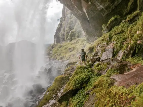
The trek on day three is 7 kilometers long. It is an exciting day because one will across many bridges and streams which are the picture points including the famous suspension bridge. If you are lucky you will also get to see the beautiful roaring waterfalls. The way to Har Ki Dun is home to the lavish flora and fauna and the valley inaugurates the forests of the other sides. The valley has an excellent view of the snow-capped crowns. You can also stop by to visit the Kali Mata Temple. Shepherd camps will be a common sight you will see every 15-25 minutes. It will take almost 6 hours to cover the day’s trek. Har Ki Dun plain is the campsite for that night.
- Distance: 7 km
- Altitude: 11800 ft
- Duration: 6 hours
- Accommodation: Tent
- Start point: Chilurgad
- Endpoint: Har ki Dun
Day 4: Har Ki Dun to Lal Patthar
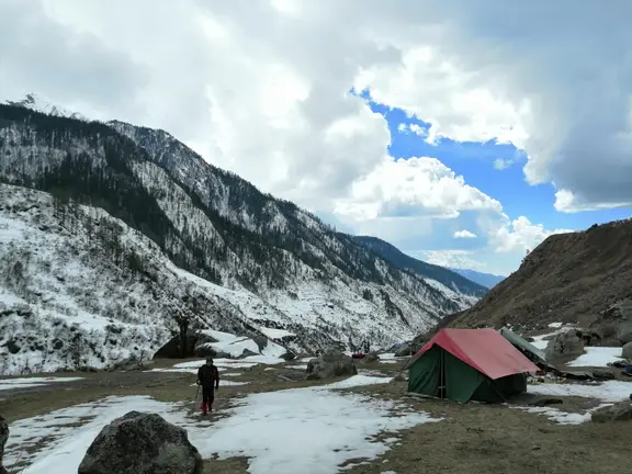
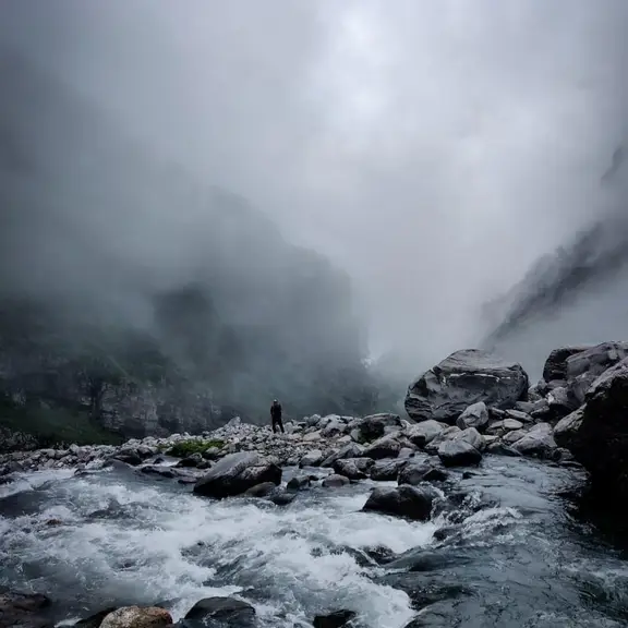
The trek starts on Ratta Tho also called Lal Patthar because Ratta means red and Tho is a stone. The path is around 6 km long which can be completed in a maximum of 5 hours. One can see the Ganga flowing while passing Har Ki Dun. The next part of the way is the lush green meadows. At this point, one can witness a remarkable view of the Hata Peak with blue skies in the environment. The valley leads to a tiny lake called Marinda Tal. The lake is supplied by a stream falling from the Borasu Glacier. Settled with big rocks, it is surrounded by cliffs and large hills. There are beautiful yellow flowers everywhere. After a distance, you will finally reach the Ratta Tho campsite. You can set up your tents here while the next destination waits.
- Distance: 6 km
- Altitude: 13451 ft
- Duration: 5 hours
- Accommodation: Tent
- Start point: Har ki Dun
- Endpoint: Ratto Tho
Day 5: Ratta Tho Campsite to Lamjung
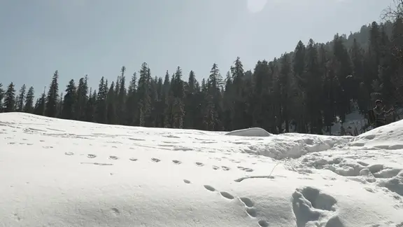
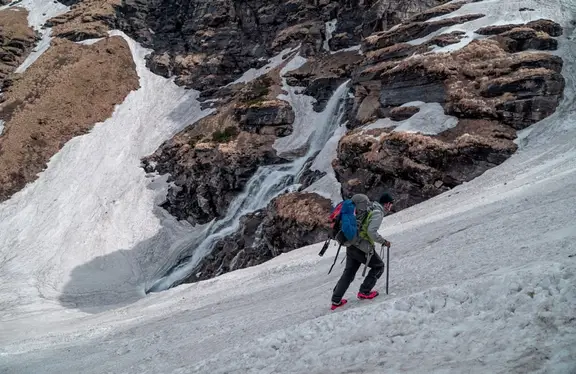
Here, one has to cross the streams in the lower parts of the Borasu Glacier and the climbing is very steep. The trek is moderate to ensure the accommodation of the trekkers. You will reach a huge meadow called Saunbhera. You can enjoy the glances of snow peaks from here. Snow filled peaks are visible even in June and July. The snow can be extremely slippery though. Lamjung is approx 2 hours from this point. After passing through all the boulders you will reach the destination. Lamjung will be the camping site for this night.
- Distance: 7 km
- Altitude: 16075 ft
- Duration: 6 hours
- Accommodation: Tent
- Start point: Ratta Dho
- Endpoint: Lamjung Camping Point
Day 6: Upper Lamjung - the resting point
The day is another refreshing morning in the middle of the mountains. Today can be the day of rest where one can wake up a little late in the first part of the day that is around 8:00 A.M. If you want to go to the Upper Lamjung, it is around 45 minutes. You can investigate the area close to the campground. This is the day where you will experience no bad routes and no bad climate and can peacefully enjoy the environment around you which is covered with snow all around. You can see the borasu glacier and Saunbhera campsite from here.
Day 7: Upper Lamjung to Bonga via Borasu Pass
This is the longest and the most tiring day of the entire trip and one has to begin early in the morning at around 4 AM. You should start with a light breakfast so that there are fewer chances to fall ill. One has to cross moisten edges to begin climbing. You will reach the Zupica Glacier in the first hour. For continuing, you may have to use ropes or you can simply glissade down. After about 3 hours, you will reach a rocky area with loose boulders. When you finally reach the Bonga Camp, you will discover streams and snow patches which are the benchmark.
- Distance: 12 km
- Altitude: 17220 ft
- Duration: 9 hours
- Accommodation: Homestay
- Start point: Lamjung Camping Point
- Endpoint: Bonga Camp
Day 8: Bonga to Chitkul via Doria Camp
This is the last day of the Borasu Pass trek, having a path loaded with free shakes and charming views. One needs to keep rambling and experience deep wildflowers and fruits which are utilized by the local shepherds. Trek through the dense timberland, towards the finish of the isolated trail, where Rani Kanda with the Beas River can be located and seen. One can rest here for a while and leave for the Chitkul town. At last, one will discover wooden houses and grassy fields beckoning individuals, talking with the townspeople, and thinking about their way of living.
- Distance: 17 km
- Altitude: 13133 ft
- Duration: 11 hours
- Start point: Bonga Camping Point
- Endpoint: Chitkul Town
