

About Khaliya Top Trek
About Khaliya Top
The bugyal of Khaliya is nothing short of a paradise hidden in a deep snowy secret of the Kumaon ranges of the Himalayas. The meadows are steeped in a beautiful shade of emerald with the vivid occasional burst of colors caused by the wildflowers of summer and spring. Situated at an altitude of about 3300 km, the bugyal is located in the small village of Munsiyari within the district of Pithoragarh, Uttarakhand. The verdant meadows offer its visitors an opportunity for mountain viewing, wildlife photography, bird watching, and having an unforgettable trip in the Himalayas.
The alpine meadows of Khaliya hold endless delights for travelers with a passion for photography. Bird watchers will be treated with an array of graceful flights by the Himalayan avians that seem otherworldly due to their endemic nature. Your journey to the bugyal will be interspersed with rare sightings of the Himalayan Blue Sheep, locally known as Bharal, the barking deer, the mountain antelopes, and many more.
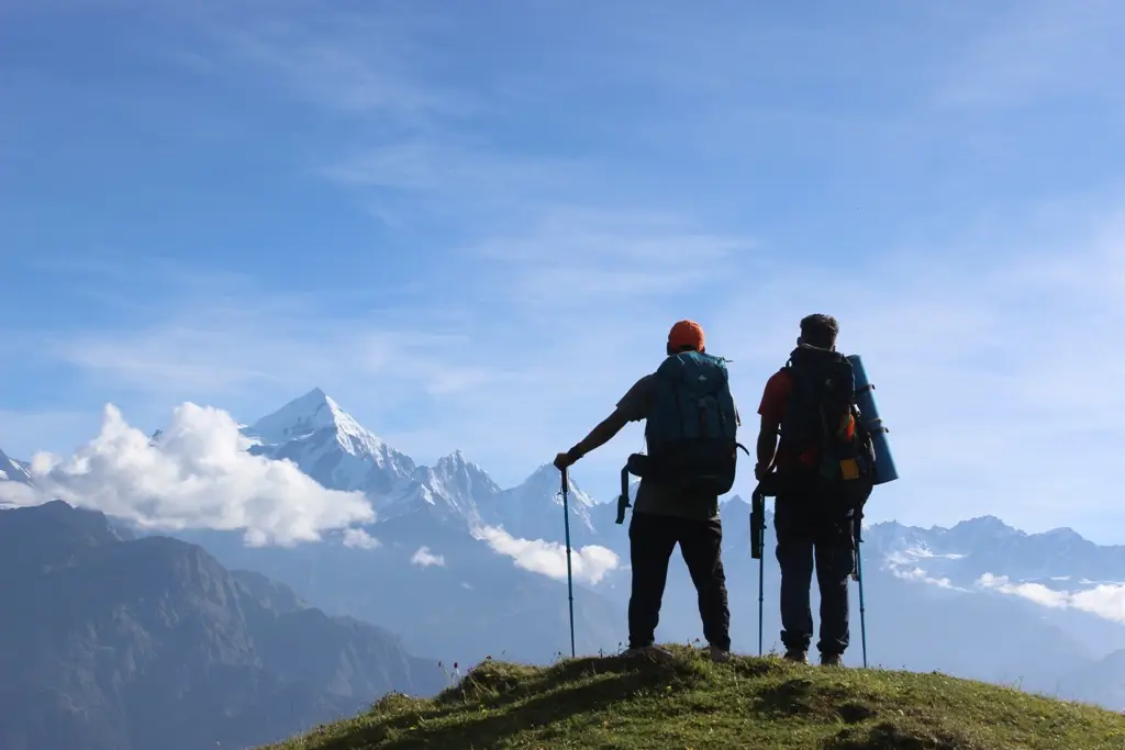
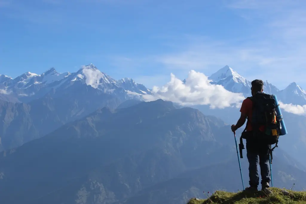
The Khaliya Top meadows are perfect for mountain viewing. It provides a panoramic view of the valleys around it. You can spot the five mountains of Panchachuli Peak from this point. The Rajrambha mountain along with the snow-clad mountains of Hardeol, Nanda Kot, and Nanda Devi can also be viewed from this bugyal of Uttarakhand. Other activities that make the Khaliya Top bugyal an ideal vacation spot are skiing in the surrounding valleys during the winter and paragliding.
Khaliya Top Temperature
The temperature is usually cool to chilly in the Khaliya and Munsiyari regions. In the summer, during the day the temperature ranges from 18 degrees Celsius to -4 degrees Celsius, and at night it can be anything from 1 degrees Celsius to -18 degrees Celsius. Winters can be harsh in this area, the temperature during the day usually soars to a maximum of 12 degrees Celsius and a minimum of -14 degrees Celsius, and at night it can range from a minimum of -28 degrees Celsius to a maximum of 0 degrees Celsius.
Khaliya Top Weather
- Khaliya Top during the Winters (December to February)
The world of Khaliya bugyal and the valleys and towns encompassing it resemble the insides of a snow globe during winter. Terrains, peaks, and mountains snuggled in a coat of fleece white snow are what will greet you as far as you can see. If this snowy fairytale world is what charms you then you should book your weekend this winter. The ideal window to visit this place is from the last week of December to the first week of February. The valleys of this region make for perfect skiing grounds. To top it all off, if you are a wildlife buff or simply looking to capture your memories forever with your photography skills then you will find flora and fauna endemic to the region found only during the winters like the migratory birds of the Himalayas.
- Khaliya Top during the Summers (March to May)
Summers at the Khaliya not only offer you a perfect escape from the torrid heat but also welcome you with clear ocean skies, refreshing lush terrains, and a load of activities and sports certain to give you an adrenaline rush. The favorable weather leaves most of the trekking trail accessible and open to exploration. The forests embedded on your trekking route will be in full bloom with plush pink flowers of Rhododendron on every tree. You can also catch the foaming waterfalls of Birthi on your ride to Munsiyari. The valleys with their undulating slopes offer you paragliding, the jostling rivers enable water rafting and the grass meadows invite you to go camping.
- Khaliya Top during the Monsoons (June to September)
Any trekking trips are usually not recommended during the monsoon months. The terrain of this region is especially in a bad state with poor and slippery roads and frequent landslides. Rainfalls are also heavier and more intense than usual.
About Khaliya Top Trek
For the Khaliya Top Trek, you will have to reach Kathgodam on your own. You can either take a bus or train to directly reach the town from Delhi or Dehradun. Once there you can put all of your worries to rest and simply enjoy the beauty and adventure offered by the Himalayas for the rest of the trip as everything will be arranged for you by us at Moxtain. The trip will start with a scenic long drive to the village of Munsiyari which will take around nine to ten hours. The journey will be interspersed with lush green forests, occasional dhabas, and chai tapris in remote hamlets and thrilling winding bands.
The second day of your trip will involve you traveling from the beautiful village of Munsiyari more popularly known as the Little Kashmir to the Balanti Band. The Balanti Band is near the potato farms run by the Uttarakhand government.
The drive will take around twenty to thirty minutes but you should keep your eyes open for temples, a hill viewpoint, and an ecological park. You will also find a few cafes and resorts where you can stop to buy provisions for the trek. Next, you will be trekking for around two kilometers to reach the base camp for Khaliya Top. It can take you forty to fifty minutes to cover the distance.
You will witness the enchanting and unforgettable views from Khaliya bugyal, or the Khuliya Top, on the third day of your trip—a steady trek of km. The journey back to Munsiyari from the base camp will also be undertaken on the same day. The last day of your trip ends with a soothing drive to Kathgodam that will cleanse you after your thrilling experience.
Best Time to Take the Khaliya Top Trek
If you wish to take a scenic trip with your loved ones to enjoy the lovely snow then winters are the perfect time for you to visit Khaliya Top, between December to February. A trek to the enchanting meadows is ideal for those planning an adventurous honeymoon trip. Skiing across the white fields adds to the entire thrilling experience. Whereas if a cool escape from the scorching heat is what you are looking for, then opt for a trekking trip in the summer.
Beauty and Highlights of the Khaliya Top Trek
- Zero Point:
The peak of Zero Point is perched at an altitude of around 4000m. It presents you with an incomparable 360-degree view of the Himalayan snow-coated mountains along with a few Tibetian peaks as well.
- Adventurous Valleys:
The valleys near the Khaliya Bugyal make for perfect skiing grounds in the winter and offer you a chance at paragliding in the summer and the spring.
- Mountain Viewing:
The bugyal of Khaliya allows you to spot the five sisters of Panchachuli, the historic spot where the Pandavas are believed to have cooked their last meal before bidding farewell to their earthly lives.
- Wildlife Photography and Bird Watching:
Animals and birds are endemic to the Kumaon Himalayas like the barking deer, mountain antelopes, monal, and the likes usually spotted during the trek will prove to be delightful for people with a liking for photography and wildlife.
- Scenic Forests:
The trek route weaves delicately through the dense green forests of oak, rhododendron, and cedar. The rhododendron forests in the latter part of the trek exhibit charming flowers steeped in shades of pink.
How to Reach Khaliya's Top
If you choose to travel with Moxtain, you will be picked up from Kathgodam Railway Station. To reach Kathgodam, you can choose from any of the below-mentioned travel options.
- By road:
You can opt for buses if you choose to travel by road from Delhi or Dehradun. This option is usually preferred by trekkers who face issues matching their timetable with the train or flight timings. If you start from Delhi, the tickets will be priced between Rs.349-850 and it will take you around 6 to 10 hours to reach Kathgodam. Similarly, buses from Dehradun take around 8 to 9 hours and the ticket cost is around Rs.600. However, this travel option is not recommended unless necessary as the journey is long and tedious. To reach Munsiyari from Kathgodam, you can either hire private cabs or go for the more pocket-friendly shared vehicles. You can also opt to travel by boarding any of the available local buses. The trip to Munsiyari usually takes around 9 to 11 hours.
- By rail:
Several trains run directly from Delhi and Dehradun to Kathgodam. There are three trains that you can catch from Delhi, Ranikhet Express, Uttar Sampark Express, and NDLS Kathgodam Shatabdi. The journey takes about 5 to 7 hours and the tickets can cost you anything from Rs.110 to Rs.1240. If boarding from Dehradun, you can choose from the two available trains, Dehradun Kathgodam Shatabdi or Naini Doon Jan Shatabdi. It will take you around 8 hours with tickets priced between Rs.165 to Rs.1390. The mentioned trains running from Dehradun have however been called off till the 2nd of February.
- By air:
There is a flight available from Delhi, however, it does not take you to run till Kathgodam. It will take you about an hour to reach the flight’s destination, the Pantnagar Airport (PGH) with tickets ranging from Rs.4000 to Rs.7000. From Pantnagar, you can hire a private cab usually available throughout the day by the airport to reach Kathgodam which is 34kms away and usually takes an hour-long ride.
Difficulty Level of the Trek
The trek to Khaliya Top and Zero Point can be undertaken by anyone from beginners to seasoned trekkers. The trek is 4 km long and traces through a steep slope. Hence, trekkers are advised to carry only the essentials, follow the health regulations, and chalk out a proper fitness regime three months before the trip. During the winters, the climb becomes a little tricky, especially for beginners, as the weather is extremely cold and the snowfields make the path slippery. The climb to Khaliya Top is a one-day trek, a view of the setting sun from the bugyal and Zero point is not to be missed.
Basic Facts of Khaliya Top Trek
- Region- Kumaon Himalayas, Pithoragarh District, Uttarakhand
- Trek Altitude- 4000m (Zero Point) and 3500m (Khaliya Top)
- Trek Difficulty Level- Easy to moderate
- Trek Duration- 4 days
- Start Point- Kathgodam Railway Station
- End Point- Khuliya Top or Zero Point
- Base Camp- Bhujani
- Temperature- Average day temperatures vary from 18 degrees Celsius to -14 degrees Celsius and average night temperatures vary from 1 degree Celsius to -28 degrees Celsius.
- Nearest Airport- Pantnagar Airport (PGH)
- Nearest Railway Station- Kathgodam Railway Station
Why the Khaliya Top Trek should be Next on your Bucket List
An endless carpet of fresh green grass sprinkled with bright bursts of pollen yellow paint nestled in the arms of the remote snow-clad terrains of the Himalayas is what is waiting for you on your trek to Khaliya Top. The bugyal of Khaliya Top is perched at a towering altitude of around 11500 feet above sea level. Widely believed to be the highest point in Munsiyari, a trekking trip to this fairytale destination can be just the refreshing and soothing weekend getaway you might be looking for.
Facilities
There are a few ATMs and banks available in and near the town of Munsiyari, however, it is still advisable to carry some cash. You won’t face a network problem in Kathgodam or Munsiyari, but you might have a poor signal on your trek. There are rental cars and taxi services available for touring and sightseeing in and around Munsiyari. There are several cafes, restaurants, and resorts across the town. A KMVN resort is situated around 1.5 km from the Khaliya Top, if you choose to stay the night or get late on your climb down this is a good lodging option. With several grocery stores and diners on your way to the base camp in Bhujani, getting food won’t be a problem. The town of Munsiyari being a popular tourist spot has almost all basic facilities like hospitals and pharmacies. A few shops selling clothes and souvenirs have also mushroomed in the town.
- Khaliya Top Trek
6000
Day 1: Kathgodam to Munsiyari
- Start point and endpoint: Kathgodam to Munsiyari
- Altitude gain: 554 m to 2200 m
- Distance to cover: Around 300kms
- Time required to cover the distance: 9 to 11 hours
- Method of travel: Drive
- Attraction of the day: Scenic drive, numerous temples, eco-park, Birthi Falls
The first day of your trek will take you from Kathgodam to the small town of Munsiyari situated in the Pithoragarh district of the Kumaon region of Himalayas. You will reach the town after a nine to eleven hour-long picturesque drive. The route to the town can be traced from Kathgodam to Bhimtal to Almora to Bageshwar to Kapkot to Tejam to Munsiyari. Green mountains and refreshing winds welcome at Kathgodam. You will steadily ascend towards Bhimtal through a few hairpin turns. As you reach closer to Almora the path in front of you will grow narrow and steep weaving through mountains. After crossing the matchbox house villages of Bageshwar, Kapkot, and Tejam, you will encounter Birthi Falls on your route, if you happen to be travelling during the months of winter you can see the entire cascade frozen into a dead white veil. Small settlements will very soon start popping up after that and you will have finally arrived at Munsiyari. A ring of white sheathed mountains crowns the alpine meadows of the town giving it a fairytale touch.
Day 2: Munsiyari to Bhujani
- Start point and endpoint: Munsiyari to Balanti Band, then Balati Band to Bhujani (Khaliya top trek base camp)
- Altitude gain: 2200 m to 2743 m, 2743 m to 3048 m
- Distance to cover: 9.3 km and 1.5 km
- Time required to cover the distance: 24 min and 35 min
- Trek grade: Easy to medium
- Method of travel: Drive and then a trek
Your next day will begin with a short drive to the Balanti Band. It will take you about half an hour to reach the spot which is around 9.2 km from Munsiyari. You can stock up on your food and water provisions on your way to the spot from the few diners and cafes on your path. The next part of your day involves a brief scenic trek to the Khaliya Top base camp located in Bhujani. You will have to scale a distance of around two to three kilometres which will take you around sixty to ninety minutes.
Day 3: Bhujani to Khaliya Top and back to Munsiyari
- Start point and endpoint: Bhujani (Khaliya Top Base Camp) to Khuliya Top, Khuliya Top to Bhujani, Bhujani to Munsiyari
- Altitude gain: 3048 m to 3500 m, 3500 m to 3048 m, 3048 m to 2200 m
- Distance to cover: 2.3 km
- Time required to cover the distance: 51 min
- Trek grade: Easy to medium
- Method of travel: Trek and a drive back to Munsiyari
The third day is the most pivotal day of your trip. You will be trekking for the Khaliya bugyal or the Khuliya top. It will take you around hours to scale a stretch of kilometres. Your trek will start in the fresh crisp hour of the morning at 7 am. The mesmerizing sunrise ensures a perfect start for Khaliya Top.
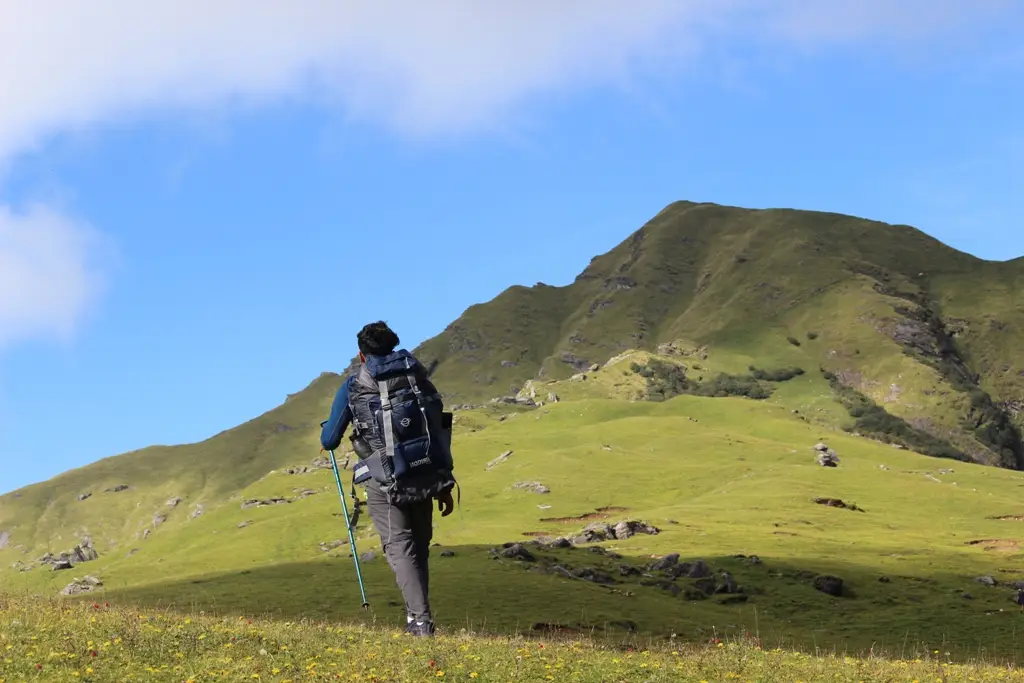
The trail is surprisingly serene and breathtaking with terrains either freshly painted green with flowers coloured like butterfly wings or covered entirely in a thick untouched white furry coat of snow depending on the season that prevails. A keen eye will help you spot the endemic inhabitants of the Kumaon Himalayas from the magical Monal with its vividly coloured feathers dipped in the rainbow to the ferocious and fatal Himalayan Black Bear.
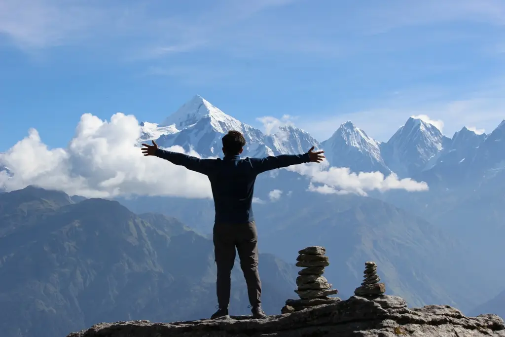
The experience waiting for you at the Khaliya Top is unimaginably spectacular. The five mountains of Panchachuli, along with Mt. Rajrambha, Mt. Hardeol, Mt. Nanda Kot, and Mt. Nanda Devi, all steeped in snow will appear very close to you from the bugyal. The white coats of these peaks and mountains change their colours with the whims of the sun. Before sunrise, the snow will colour itself in a soft blue hue, whereas under the aging sun the snowy mountains shine in a bright breathtaking shade of saffron.
A lesser-known spot distanced from the Khaliya Top is the Zero Point. The Zero Point is the highest patch of terrain in Munsiyari. It offers an unparalleled birdseye view of the Himalayan peaks of Bainti, Telkot, Nagling along with the Panchachuli mountains. Beyond these peaks is hidden another mesmerizing mountain, with a keen eye you can spot the highest peak of Gurans Himal, Mt.Api, situated at the Tibetian border. If the weather is favourable, a trek of around 1.5kms from Khaliya Top to the Zero Point will be undertaken.
After taking in the panoramic and unforgettable views from the Zero Point and the Khaliya Top, you will have to descend to your base camp. From there you will be driven back to the serene settlement of Munsiyari.
Day 4: Munisyari to Kathgodam
- Start point and endpoint: Munsiyari to Kathgodam
- Altitude gain: 2200 m to 554 m
- Distance to cover: Around 300kms
- Time required to cover the distance: 9 to 11 hours
- Method of travel: Drive
The last day of your trip will involve a scenic drive back to the town of Kathgodam. You will be dropped at Kathgodam Railway Station. The ten hour-long drive can help you balance your thrilling experience and cleanse your palate, freshening you up for a new adventure.
