

About Auden's Col
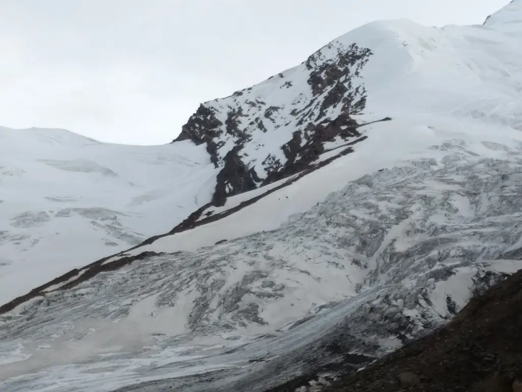
A less popular trek among the general trekkers, probably considered as one toughest trek, The Auden's Col trek at 5490 meters, requires technical Mountaineering skills, as the trail includes rappelling for descending the steep and roping-up for crossing the glacier with crevasses. Though it's one of the two treks that connect the pilgrim centers of Gangotri & Kedarnath, the other being Mayali Pass, the trek is kind of isolated, yet a wonderful one. Though being one of the most wonderful treks, it is recommended only for experienced trekkers, as the Col and the glaciers in the trail are counted with a no. of crevasses. The trail to Auden's Col begins from Gangotri (3050 meters), and along the Bhagirathi river, southwards to the Gangotri Massif. The trail to the Col becomes magnificent as we move. Counted among the toughest and most technical treks, hence the trail is further continued by proper Acclimatization and safety.
The Auden's Col connects the ridge between the Gangotri III and Jogin I and reached from the Rudragaira Glacier and then further on reaching the col, the magnificent view of the two Valleys on both the sides and the High Peaks, leave you mesmerized. Further, the trail leads through a steep cliff and this is where the trek introduces you to the technical aspects of mountaineering, where the trail is negotiated by rappelling, from the Khatling glacier side which is the originating point of the Bhilganga river, and the trail continues along the same river.
- Auden's Col
85000
Day 1: Rishikesh - Gangotri ( 3050 Meters)
Gangotri, a 1O hours- 275 km drive from Rishikesh. ,via., Uttarkashi. The roads are dangerously cut on mountains edges and at times, you only see the river flowing in the gorge deep below. Notice the cleanliness on the site despite hundreds of pilgrims visiting it every day. Overnight stay in a Guesthouse on sharing basis.
Day 2: Gangotri - Nala Camp (3750 M)
The trail begins on the left of the valley through third largest National park of India, the Gangotri National park. With deodar, fir, spruce, oak and rhododendrons trees throughout the trail. As you burst out of the forest, you find the Himalayan peaks i.e. Jogin and Kedartal range appears before you.
Day 3: Nala Camp - Rudragiara Camp (4350 meters)
The trail leads to the Rudrgyara Base camp through a steep trail along a stream. At an altitude of 4300 meters, there are good chances of being hit by Acute Mountain Sickness if you?re not well hydrated, so keep drinking adequate amount of water throughout the trek, as this is the first serious incline you will encounter. In the trail, the first glimpse of the majestic views of Rudragaira peak, Jogin peak and Auden Col are breath taking. The steep climbs and a river crossing keep the trek add an icing to the cake.
Day 4: Acclimatization - Rudragyara Basecamp (4350M)
An easy day for trekkers, the day is reserved for rest and acclimatization. But an important day to train for the upcoming ascent and be familiar to the possibilities and challenges confronted by the different changes in the terrain, by your trek leader. As proper knowledge and experience is required in the upcoming excursion. Hence, we will keep ourselves active throughout the day for better acclimatization, also will attempt a height gain of about 400 meters to a nearby peak. Overnight stay in Camps.
Day 5: Rudragyara Basecamp - Gangotri Massif Basecamp (4500 meters)
The trek from this day onward gets tougher. Initially, a gentle gradient in a rock fall zone, the climb picks up through traversing moraines and some other technical sections. The trail is quite steep all the way and is challenging. Today, the campsite is a good spot for a panoramic shot as the views of Gangotri Massif is vivid. Overnight stay in Camps.
Day 6: Gangotri Massif Basecamp to Auden's Col Basecamp (4800 meter)
We will begin our trek early in the morning. Carry 2 litres of water before starting the summit climb since there will be only few water sources on the way.The day is challenging as compared to previous days, the approach is laborious, but not difficult. Trail continues through moraines as it leads towards the Auden?s Col Base camp. The campsite is not well marked and the route is little confusing. We will find out some flat surface to pitch our camps in the rocky campsite. Evening will be utilised to learn some basic mountaineering techniques which will come handy in the days to come. Overnight stay in camps.
Day 7: Auden's Col Basecamp to Khatling Glacier Camp (5110 meter ) via Auden Col (5500)
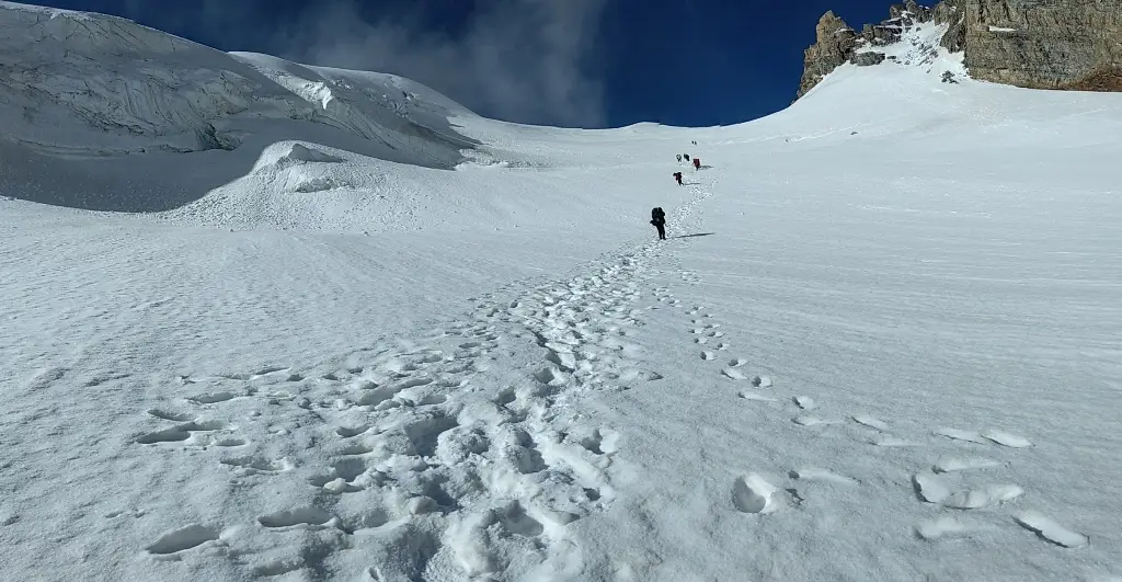
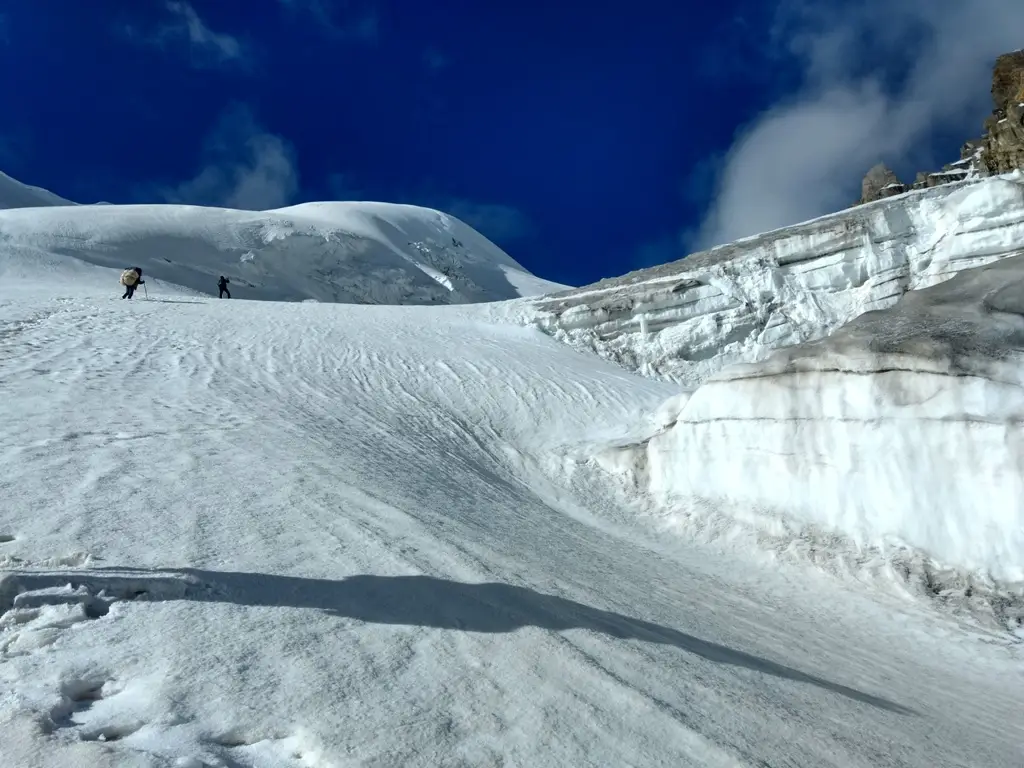
This is the day as we will cross the Auden?s Col and reach the Khatling glacier camp. We will start our trek in the early morning.The sooner the better. You need to climb while the snow is still hard. In the mid morning the snow becomes soft and your feet start sinking in. You need to avoid this. Our initial walk includes a technical climb on the glacier, which will lead us to the col, situated 5 km from the base camp.Take small breaks while climbing up the steep path. These breaks are important as going up very fast could mean inviting AMS. In these breaks take rest while taking suppport of your walking stick as sitting down causes your muscles to relax and makes it difficult to get back on track. The last stretch of climbing in the snowy requires support of all four limbs and is exhausting but is not long. Depending on the snow depositions, the team may be required to rope up. After reaching the col, .enjoy the breathtaking 360 degree views of Snow clad peaks that are clearly visible from from 5490 m. After spending some time here, descend without delay.It can get windy at the summit and possibility of sudden rain or snow cannot be ruled out.
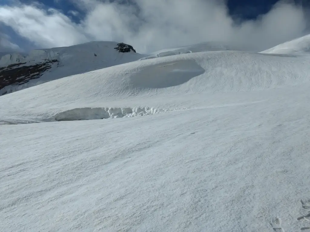
The descent towards Khatling glacier from the Col is the most exciting and nerve-wracking bit, around 6 km and continues through the glacier infested with crevasses. This section is laborious with a sharp descent and so we apply rappelling technique and further roping-up for crossing the glacier.
Day 8: Khatling Glacier - Waterfall Camp/Zero Point
Today's trek is also on glacier. The trail is challenging and depending upon the accumulation of snow, the team may be required to rope up. After negotiating the glacier, the trail continues through the by boulder section, leading to a trail on loose rocks all the way. Choose a nice camp site close to the river and retire happily for the day after crossing the Auden?s Col.
Day 9: Waterfall Camp/ Zero Point - Chowki
This day is a gentle down hill walk in the beginning along the Bhilganga river in the valley between the mountain ranges. After a walk of 3 km, we will reach a green pasture, rest for a while in the meadow and continue our trek towards Chowki. After 4 hours into the descending walk the campsite. Chowki is a good grassy patch.
Day 10: Chowki - Masar Tal (6.5 Kms/ 4550 meters )
The trail, parallel to a water stream originating from Masartaal leads to the Masartal campsite crossing through a lot of boulders.The ascent to Masartal Camp will leave you breathless. It is a steep ascent with a gradient of 60 degrees in the later part of the trail. Trek up the steep path slowly but steadily. After trekking some distance, the Khatling Glacier becomes visible behind, in the distance. Masar Tal lake is a high altitude alpine lake and is super cold, with a lot of places to make it an ideal campsite.
Day 11: Masar Tal - Vasuki Tal (14 Kms/ 5400 meters )
The day trekking through the Pass, begins early to avoid the slushy conditions. Hence with an early 3 km ascent to Mayali Pass at 5400 meters. Today's trek is slightly technical, with knee-deep snow but rewarding and it takes a while to make yourself realize the actual scenic beauty to be real. Mt.Thalaysagar, Mt.Kedardome, Mt.Bhartekuntha with many other peaks are on your sight at the pass. After crossing the Pass, the descent is itself a challenge as you cross the Mayali glacier with no defined path which further leads to another beautiful lake Vasuki Tal (4800 M.). The campsite is at a little distance from the lake as the lake is considered sacred.
Day 12: Vasuki Tal - Kedarnath (7Kms/ 3550 meters)
From Vasukital to Vasuki top is another steep climb of 2 kms. Vasuki Top offers a beautiful view of the Mandani region. And from the top it is a complete descent down to the Mandakini River and reach Kedarnath by the noon. Transportaion is provided furthre up to Rishikesh which is a 100 km ditance and takes approx 5-6 hrs drive.
